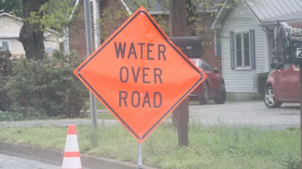
Officials with the Kentucky Transportation Cabinet say high water is continuing to impact several roads in the areas served by District 2. Counties served by District 2 include Caldwell, Christian, and Hopkins.
Officials also remind drivers to not drive around or move signs, barrels or barricades. Also, to remember, never drive through a flooded roadway — turn around, don’t drown.
They also note that high water remains possible even for roads that are not listed on their report
List of roads in District 2 impacted by high water include:
Caldwell County
KY 91 at 8.5 mile point
KY 91 17.2-18 mile points
KY 91 at 11.6 mm at KY 2080 (Cadiz Street)
KY 126 at the 1 mile point
KY 128 at 0.4 mile point
KY 128 between the 3.3-3.4 mile points
KY 139 at the 4.5 mile point
KY 139 between the 14.4-14.7 mile points
KY 293 at the 4.34 mile point (NEW)
KY 515 at the 3 mile point (NEW)
KY 672 at KY 1627 (NEW)
Christian County
U.S. 41 between the 11-11.4 mile points (CLEAR)
U.S. 41 between the 12.1-12.3 mile points
US 41 between the 14-14.2 mile points
US 41 between the 24-24.5 mile points (CLEAR)
U.S. 41A between 15.2-15.9 mile points
KY 107 between the 18.1-18.6 mile points
KY 109 between the 4.6-8.8 mile points (NEW)
KY 109 between the 10.9-11.1 mile points
KY 164 between the 9.4-9.6 mile points near Newstead Road
KY 117 between the 15.8-18.9 mile points
KY 272 between the 6.8-6.9 mile points near Square Deal Grocery
KY 272 between the 7.3-8.2 mile points
KY 345 between the 9.2-10.6 mile points
KY 400 between the 0-1.3 mile points
KY 695 between 0-10 mile points
KY 1338 between the 3-4.4 mile points
KY 3186 between the 0-0.8 mile points (NEW)
Hopkins County
I-169 southbound Exit 30 to U.S. 41 blocked by water at Mannington
U.S. 41A between the 12-13 mile points – Providences Levee
U.S. 62 between the 16-17 mile points between Nortonville and White Plains
U.S. 62 between the 20-21 mile points
KY 70 between the 11-13 mile points near Richland Church
KY 109 between 6-8 mile points near Ferguson Town Road
KY 112 at the 5.4 mile points
KY 138 between the 0-1 mile points at Slaughters
KY 281 (Island Ford Road) between 0-2 mile points
KY 502 between the 1-5 mile points
KY 502 between the 7-8 mile points
KY 813 between the 10-11 mile points near Mortons Gap
KY 1033 between 0-2 mile points near Vandetta
KY 1069 (Stagecoach Road) between the 0-2 mile points
KY 1220 between the 3-4 mile points
KY 1302 (Pleasant View Road) between the 1-2 mile points
KY 1337 between the 4-5 mile points
KY 2083 between the 0-1 mile points near Little Valley
KU 2281 (Carriage Lane) between the 0-1 mile points
KY 2337 (Tucker Schoolhouse Road) at the 4 mile point
KY 3059 (Wells Road) between the 1-2 mile points
McLean County
KY 85 at the 6.8 mile point – Sawmill Bridge
KY 1046 between the 3-4 mile points
KY 2110 between the 0-2 mile points
KY 2385 between the 3.7-4.4 mile points
Muhlenberg County
U.S. 62 at the Hopkins County line
U.S. 431 between the 10.7-11 mile points
KY 175 between the 22-24 mile points (NEW)
KY 179 between the 4-5 mile points
KY 181 between the 12.5-12.7 mile points
KY 181 between the 17.5-18.3 mile points
KY 277 between 0.9-1.2 mile points
KY 1163 between the 2-4 mile points
KY1379 between the 0-6.1 mile points
KY 1380 between the 2.2-3.7 mile points
KY 2270 between the 6.2-6.4 mile points
KY 2270 between the 6.9-7.1 mile points
KY 2533 between the 0-0.7 mile points
KY 2590 between the 0-0.4 mile points
KY 2590 between the 2.2-2.8 mile points
Webster County
KY 120 between the 10-11 mile points
KY 132 between the 5-6 mile points (NEW)
KY 132 between the 12-13 mile points
KY 138 between the 10.3-10.8 mile points at Slaughters
KY 270 between the 6.8-8.3 mile points
KY 494 between the 0-1 mile points (NEW)
KY 874 between the 1.6-2 mile points
KY 2836 between 0-1 mile points
KY 2937 between the 2-3 mile points
(Please note this list only includes state routes.)


