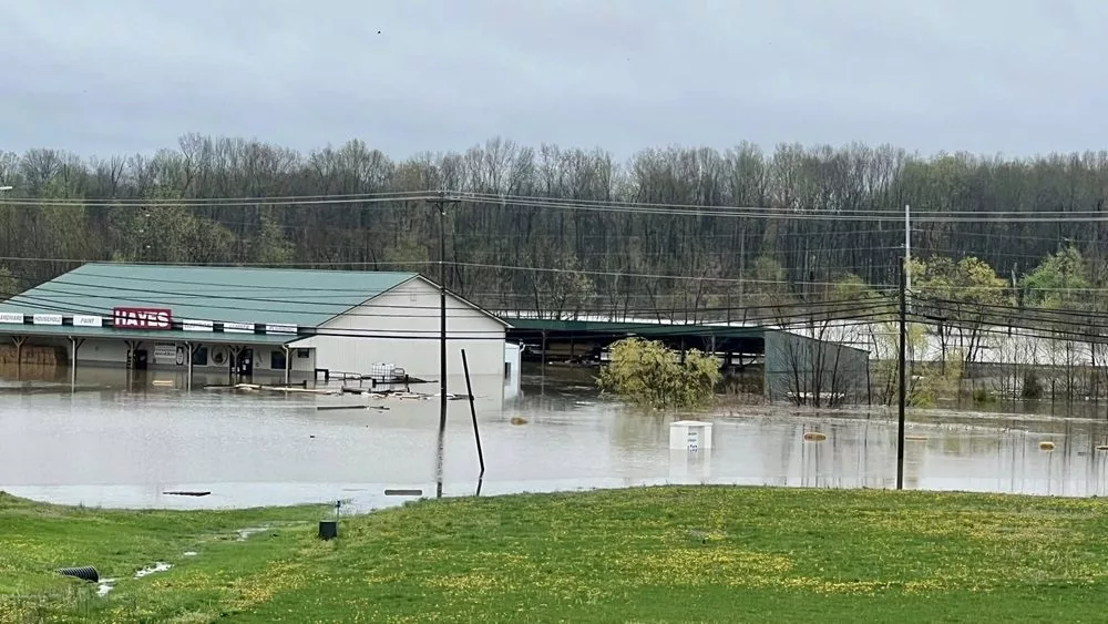
As of Saturday afternoon, Bailey said there have been no water rescues or evacuations in Hopkins County, so far.
During a conversation with WFMW’s News Edge Friday afternoon, Bailey said one of the biggest concerns during a flooding event is ensuring that people are not driving through high water.
Mesonet had reported 11.6 inches of rainfall in Hopkins County from Wednesday through Saturday afternoon, with several additional inches expected through Sunday.
As of 4:15 p.m. Saturday, officials from the Kentucky Transportation Cabinet District 2 reported high water signs have been placed on the following state roads:
I-69 at the 100-mile point (CLEAR)
I-69 NB at Exit 117 ramp to U.S. 41
I-169 southbound Exit 30 to U.S. 41 was blocked by water at Mannington
U.S. 41A between the 12-13 mile points – Providences Levee
U.S. 62 between the 1-2 mile points in Dawson Springs between KY 109 and Casey’s
U.S. 62 between the 16-17 mile points between Nortonville and White Plains
U.S. 62 between the 20-21 mile points
KY 70 between the 0-1 mile points at the Caldwell County line
KY 70 between the 11-13 mile points near Richland Church
KY 109 between 6-8 mile points near Ferguson Town Road
KY 112 at the 5.4 mile points
KY 138 between the 0-1 mile points at Slaughters
KY 281 (Island Ford Road) between 0-2 mile points
KY 502 between the 1-5 mile points
KY 502 between the 7-8 mile points
KY 813 between the 10-11 mile points near Mortons Gap
KY 1033 between 0-2 mile points near Vandetta
KY 1069 (Stagecoach Road) between the 0-2 mile points
KY 1220 between the 3-4 mile points
KY 1302 (Pleasant View Road) between the 1-2 mile points
KY 1337 between the 4-5 mile points
KY 2083 between the 0-1 mile points near Little Valley
KU 2281 (Carriage Lane) between the 0-1 mile points
KY 2337 (Tucker Schoolhouse Road) at the 4 mile point
KY 3059 (Wells Road) between the 1-2 mile points
Click here to view pictures of the flooding in Dawson Springs.


