As water levels continue to recede in several areas, officials from the Kentucky Transportation Cabinet District 2 report that river counties are beginning to experience increased flooding as floodwaters flow downstream.
Officials said areas along the Green and Ohio Rivers are witnessing water levels that have not been seen in many decades.
As of 10:00 Thursday morning, officials reported high water is affecting the following state roads in Hopkins County::
KY 70 between the 0-1 mile points at the Caldwell County line (Down from 0-2 mp)
KY 70 between the 23-24 mile points
KY 85 between the 4-7 mile points towards McLean County
KY 138 at KY 1033
KY 109 at the 14.5-mile point
KY 254 between the 5-5.2 mile points
KY 254 and the intersection of KY 260 to the McLean County line
KY 281 between the 10-16 mile points to KY 138
KY 293 between the 0-3.16 mile points at Webster County line
KY 370 between the 0-1 mile points
KY 862 between the 2-2.8 mile points near KY 254
KY 862 between the 2.8-5 mile points
KY 892 between the 5.5-6 mile points
KY 1033 between 0-2 mile points near Vandetta
KY 1034 between 0-1.5 near Johnson Island Church
KY 1220 between the 3-4 mile points
KY 2280 between the 0-2.2 mile points
KY 3059 (Wells Road) between the 1-2 mile points (CLEAR)
Officials indicate KY 3059 (Wells Road) between the 1-2 mile points is now clear of high water.
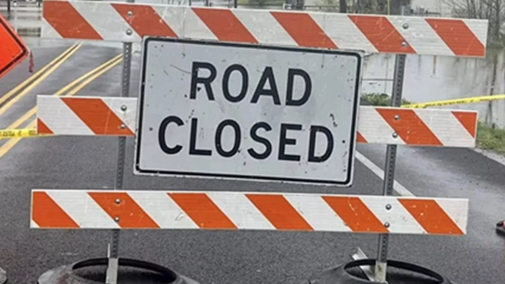
If you see a “road closed” sign, state transportation officials stress for drivers to do the safe thing and turn around; don’t drown.